

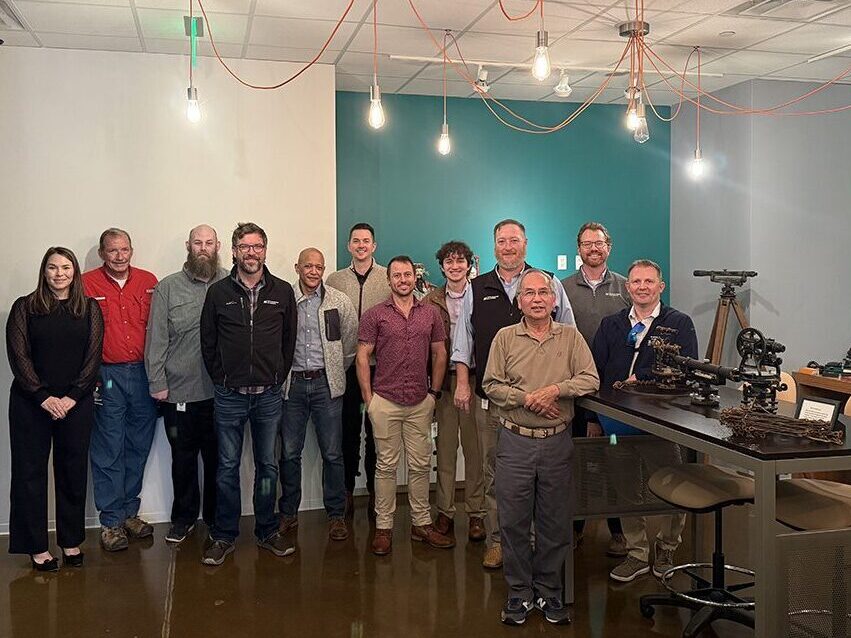
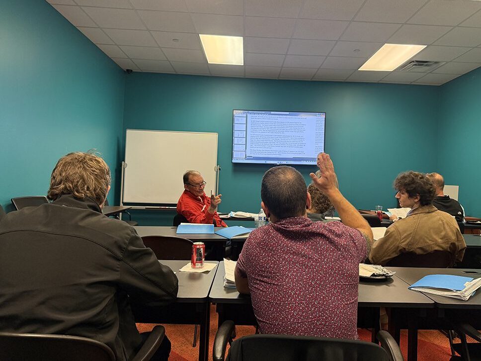
For years, Landtech President Paul Kwan, RPLS, has shared his knowledge and passion for land surveying through internal Lunch & Learn sessions. Recently, he extended this tradition beyond Landtech by inviting the Pape-Dawson surveying team to join an educational session.
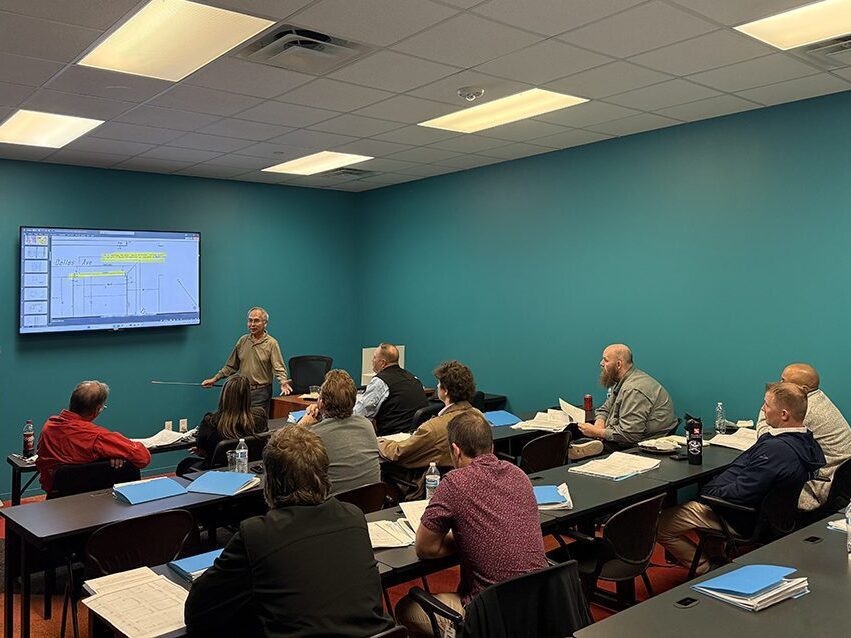
Paul welcomed attendees with a fascinating presentation, “Ancient City of Houston: Harris County Records & Street Reference Lines.”
The session took participants on a journey through Houston’s surveying history, exploring the 1868 Ordinances Woods Map, which was officially adopted as the City of Houston map and established the Street Reference Lines. Attendees also learned about WPA maps, Harris County school land grants, and other historical records that continue to influence modern boundary determinations and surveying practices today.
One of the highlights of the event was the participation of Waller County Commissioner Walter Smith, PE, RPLS, who shared insights from his extensive surveying career and offered valuable perspectives on the profession’s evolution.
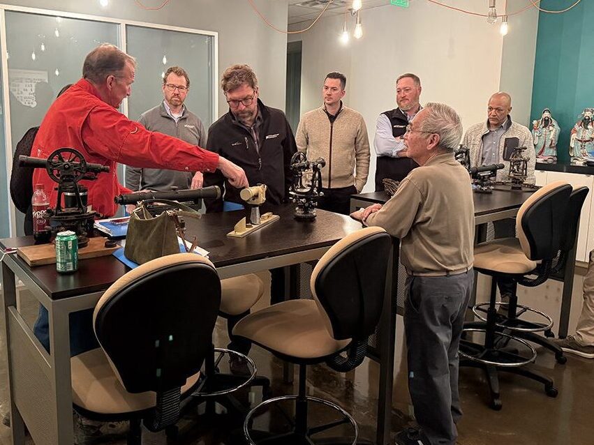
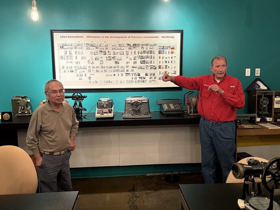
Paul and Walter brought history to life by showcasing antique surveying instruments from the Landtech Surveying Museum, demonstrating how these tools were used to establish boundaries that modern surveyors continue to rely upon. A special thank you to Commissioner Smith for sharing his experience and expertise, and to the Pape-Dawson team for joining us for this memorable and educational event. At Landtech, we believe that sharing knowledge, preserving history, and connecting generations of surveyors are essential to strengthening our profession and building its future.